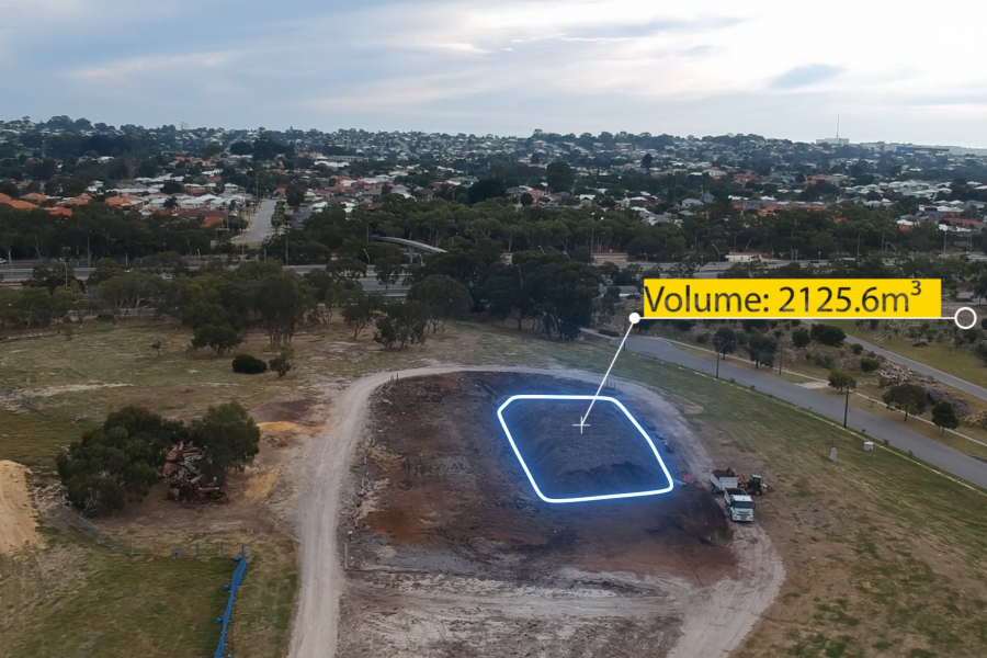
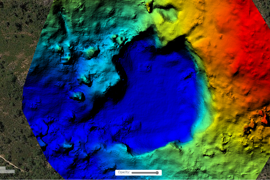
10 Steps to Calculate a Volume in Agisoft Metashape with GCPs | Aerial Surveying IMPORTANCE OF GROUND CONTROL POINTS: Using Drone Photogrammetry Software Agisoft Metashape.…
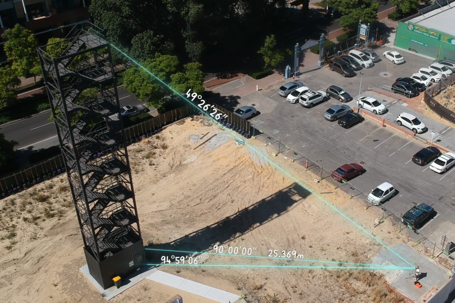
How to measure the Height of a Building using Trigonometry | Aerial Surveying Measuring the Physical World Around us: The Measuring of Vertical Distance is…
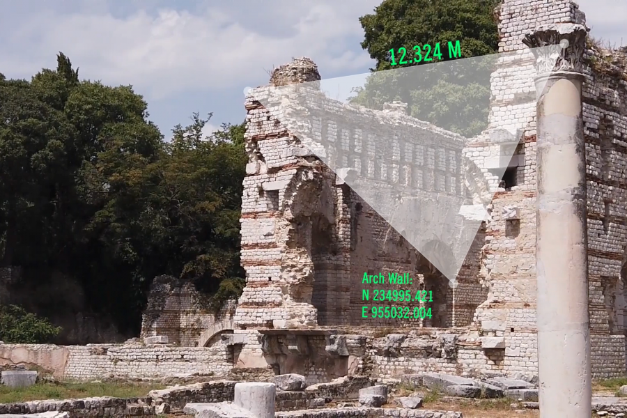
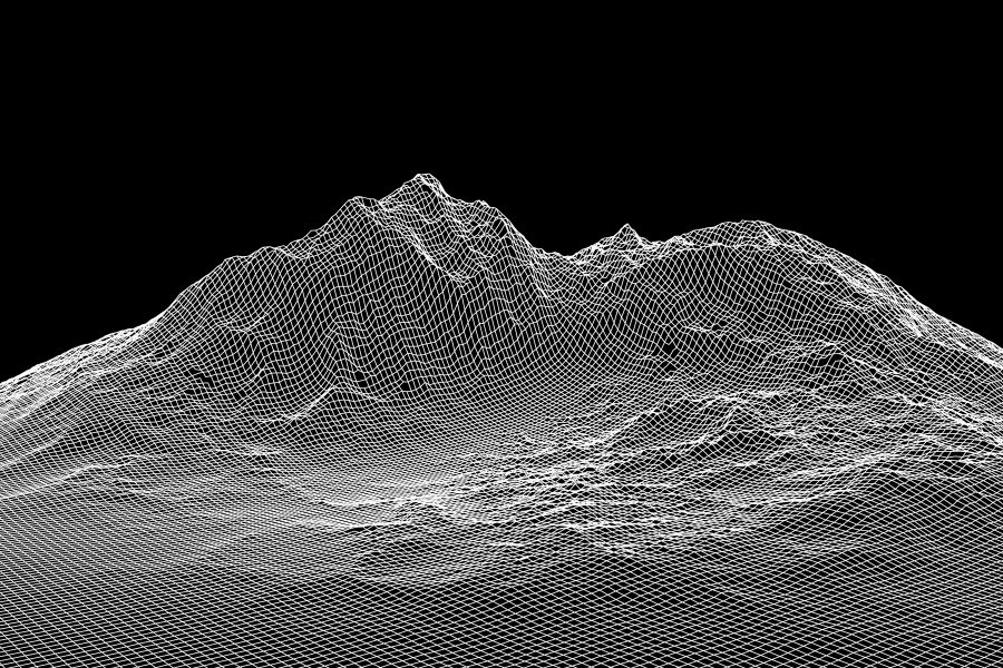
PHOTOGRAMMETRY FOR THE NEWBIE Photogrammetry – from 2D to 3D: In a Nutshell, Photogrammetry is the Process of Compiling a Number of Photographs in order…
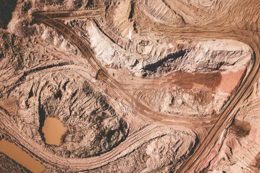
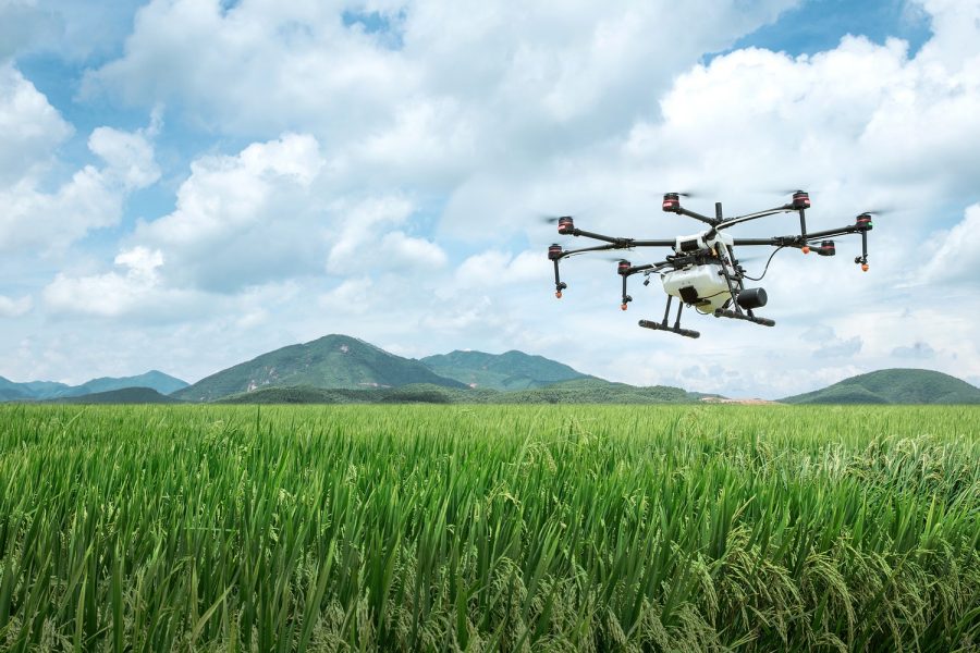
Aerial Surveying in Agriculture Today Agricultural Mapping Intro: With the Increase in Aerial Surveying Innovation, the Demand and Application for use in the Farming Industry…


Recent Comments