

How to measure the Height of a Building using Trigonometry | Aerial Surveying
Measuring the Physical World Around us:
The Measuring of Vertical Distance is one of many basic skills use by Surveyors today. And it is also one of the most important Models of Control.
Vertical Control is Critical in Building Construction and has been a Necessity in the History of Land Surveying Exploration.
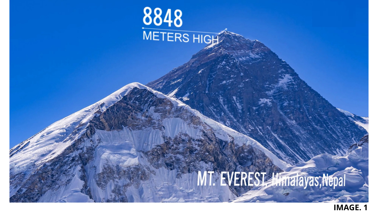
Surveyor George Everest used Trigonometric Heighting to Measure the World’s Tallest Peak.
From Natural to Manmade It is the physical structures around us that make the world in which we live, so unique.
Ancient Greek mathematician Euclid of Alexandria, stated that- “The Laws of Nature are but the Mathematical thoughts of God”.
Then Ancient Greek geometers introduced Euclidean space for modeling the physical universe.
Fast Forward to over 2000yrs later, and today, we have sophisticated methods in which to measure and analyse both the Natural and Manmade structures around us.
These include Laser Scanning, GNSS Equipment, Photogrammetry, Drones and Digital levelling.
TIP: ‘Click here to Learn more about LIDAR Scanning’.
However, it’s with a sense of irony today that even with all of the latest equipment, that the use of classical techniques such as Trigonometric Heighting are still widely more suitable and preferred by Surveyors.
Image 1: Shows the World’s Tallest Peak:
Digital Levelling:
The most accurate way to Transfer Vertical Distance is by the use of Levelling, today this is made much more Accurate using a Digital Level.
Gross Error or Human Error is Massively reduced by use of a Digital Level. The Digital Level will accurate display and measure Height to the (m) with Four Decimal Places.
TIP: ‘Click Here to view the Trimble Digital Level’.
Usually the Level is read very Fast from a Staff with a Barcode. The Method therefore saves a lot of Time and can help cover more Distance over a shorter Period.
The other Method of Levelling is via, ‘Auto-Levelling’, this is done Manually and much Gross Error occurs, as the Surveyor must carefully read the Staff Reading, remember it and write it down at each Reading.
The Misclose is always Greater using the Auto-Level Method. Andso much shorter distances should be used only with the Auto-Level and it is Substantial on a lower Budget.
Image 2: Shows a Trimble Digital Level being used:

Other Levelling Methods:
For less Accurate Vertical Measuring, it is suitable to us GNSS. Usually, GPS Rovers connected to a Base Station can give a Height Distance within 50mm Accuracy.
Using RTK or Real Time Kinematic GPS, Height Accuracy can be Achieved up to 10mm. The RTK uses Technology that measures the number of Carrier Signals between the Rover and Satellites, then multiplying this by the Wavelength of the Carrier.
AUSPOS is another Tool that can be Utilised with GPS. AUSPOS is an Online Resource, which Data can be collect using a GPS Rover and then Uploaded to AUSPOS for Free. The Data is Processed and then a Report is generated.
TIP: ‘Click Here to view the AUSPOS Website’.
Static GPS data collection is also another more reliable Resource as, the Data is collected over a much longer time period. Usually the Rover is placed Stationary for a minimum of 1 Hour. Static gives more accurate results than RTK.
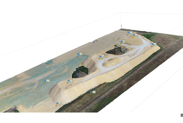
The use of GPS for Vertical Control is ideal for more Remote Locations or Projects that require a ‘Fast’ TBM installed. This is Common in Open Pit Surveying.
GNSS Heights in Australia are calculated from Geoid Projections; AUSGeoid09 and AUSGeoide2020. The Geoid Models are closely Aligned with the AHD Average Height Datum.
Image 3: Shows Reading Height from an RTK Rover and Base:

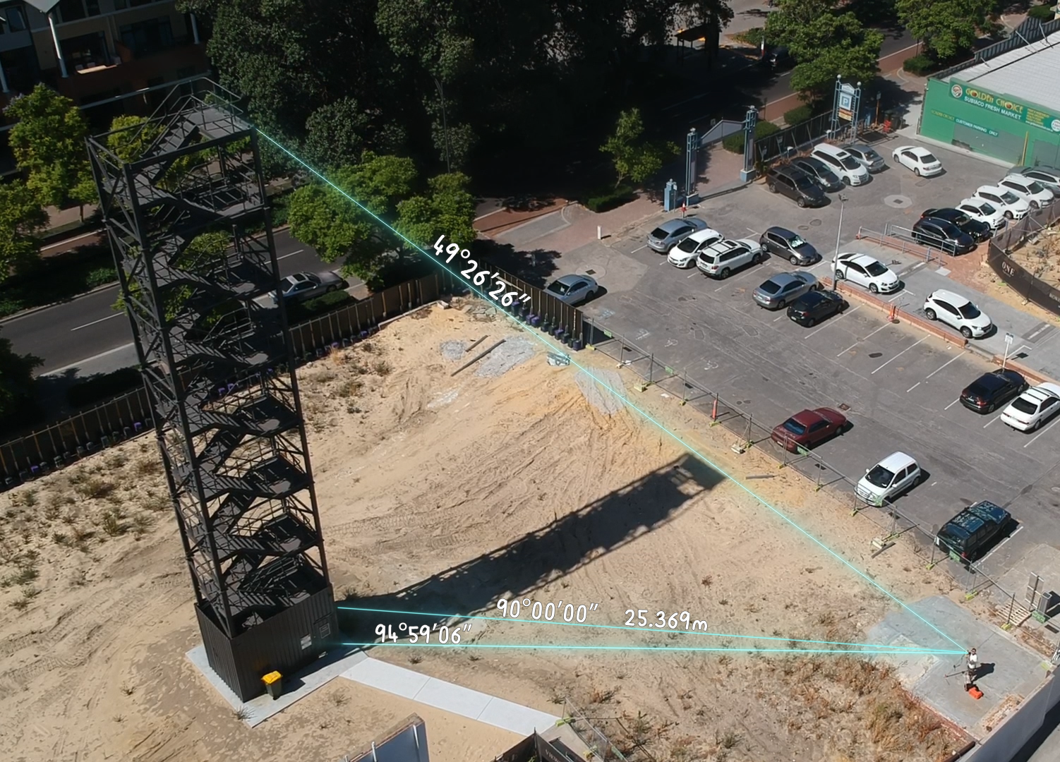
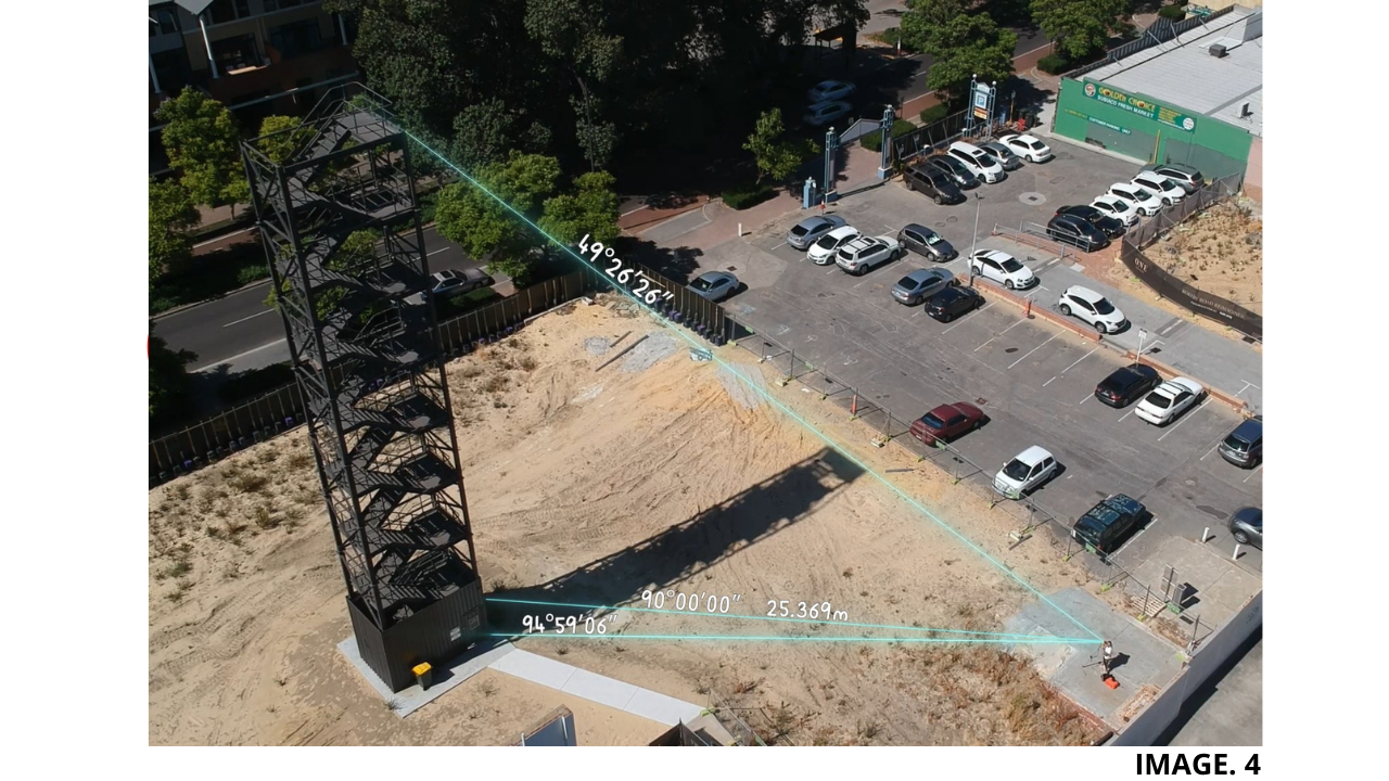
Trig-Heighting Using a Total Station:
Trig Heighting with a Total Station can produce very Accurate Results, also known as Differential Levelling, it is not more Accurate for Levelling than a Digital Level but can be used for small jobs that do not require too many setups.
Heights can be Transferred Automatically or, as in the Example in the Video, the Height of a Building can be Calculated from Manually Sighting the Tops and Bottoms of the Building or Structure.
Differential Levelling is Achieved by observing a Number of Zenith Angles combined with Distances.
TIP: ‘More Information on Differential Levelling can be Found Here’.
The Best way to Understand how to Visualise a Zenith Angle is; the Angle read from the Point directly at an Imaginary ‘X-Axis’ above a person’s Head as being 0˚. Then as a person ‘looking-up’, at 0˚, brings their Eyes down towards Eye-Level, the Angle increases from 0-90˚.
Image 4: Shows Two Zenith Angles here Calculated as 49˚26’26’’ and 94˚59’06’’:
Tutorial:
Using a Total Station; it is possible to measure the height of a structure once the Horizontal Distance has been recorded.
The next step is to Sight & Record both Top and Bottom Vertical Angles, by selecting the Exact corners of the Building or Structure you are trying the Survey.
As these Angles are Zenith Angles, they must be Subtracted from 90˚to give you the 2 Interior Opposite Angles, (Nearest to the Surveyor).
TIP: ‘Click Here to See more Information on Zenith Angles’.
Once the Zeniths are Subtracted, we then have the two Angles we need to Calculate the two Opposites, Lengths or Heights of the Building.. I.e.: OPP = TANθ x ADJ.
The Next Step is to Measure the Adjacent, this is Measured by using a Prism and Bouncing it anywhere on the face of the Building or Structure and Recording the HD Horizontal Distance.
We then enter the Values into the Equation and we have 2 x Opposite Values we can Add together to Give a Total Height of the Building.
Image 5: Shows this Final Calculated Step:

Height Datums today:
In Australia, the National Height Datum is AHD71. The Datum was Established in 1971 from taking an Average of 30 Tide Gauges to give a 0.000m Elevation.
All other Nations around the World have similar Systems of Vertical Control depending on Terrain and Year Established.
SSMs need to be constantly updated in Australia, as they are constantly being destroyed by New Construction Projects.
AHD is the only Height Datum in Australia today, and as there can only be one Datum by Law per Nation or Island, the AHD for Australia will remain for the Foreseeable Future.


Recent Comments