

Aerial Surveying in Agriculture Today
Agricultural Mapping Intro:
With the Increase in Aerial Surveying Innovation, the Demand and Application for use in the Farming Industry continues to provide New Opportunity and Growth Every day.
Aerial Surveying is used not only in the Initial Planning Stages of a Farm but for also ongoing Maintenance.
Using Drones for Data Collection Farmers can Distribute Crops Efficiently. And Features such as Plant Population Analysis are today available to predict early Yield Estimates.
What is Precision Agriculture?
Put simply PA is the combination of Information Technology for use in the Agriculture Industry. PA is used to Optimize Output with Maximum Sustainability, Economics and Minimal Impact on the Environment.
TIP: ‘Find Out More About Precision Agriculture’.
PA Utilizes various Surveying Tools such as, GPS, GIS, VRT, Yield Monitors as well 3D Mapping Photogrammetry Software to Process Data.
The main Focus on PA is the correctly gather Data as accurately as Possible (Inputs). The higher the Quality of the Data Collected, then the Greater the Yields will be and the Sustainability Improved.
Mapping for Farm Planning:
The Planning Process begins with an Aerial Survey of the Farm using a UAV. One of the main Features used in Efficient Planning of a Farm is the DEM or Digital Elevation Model. From the Model, we can see Contours and in particular which way Natural Irrigation is flowing.
Image 1. Shows Drone Footage of a Typical Crop Imagery:
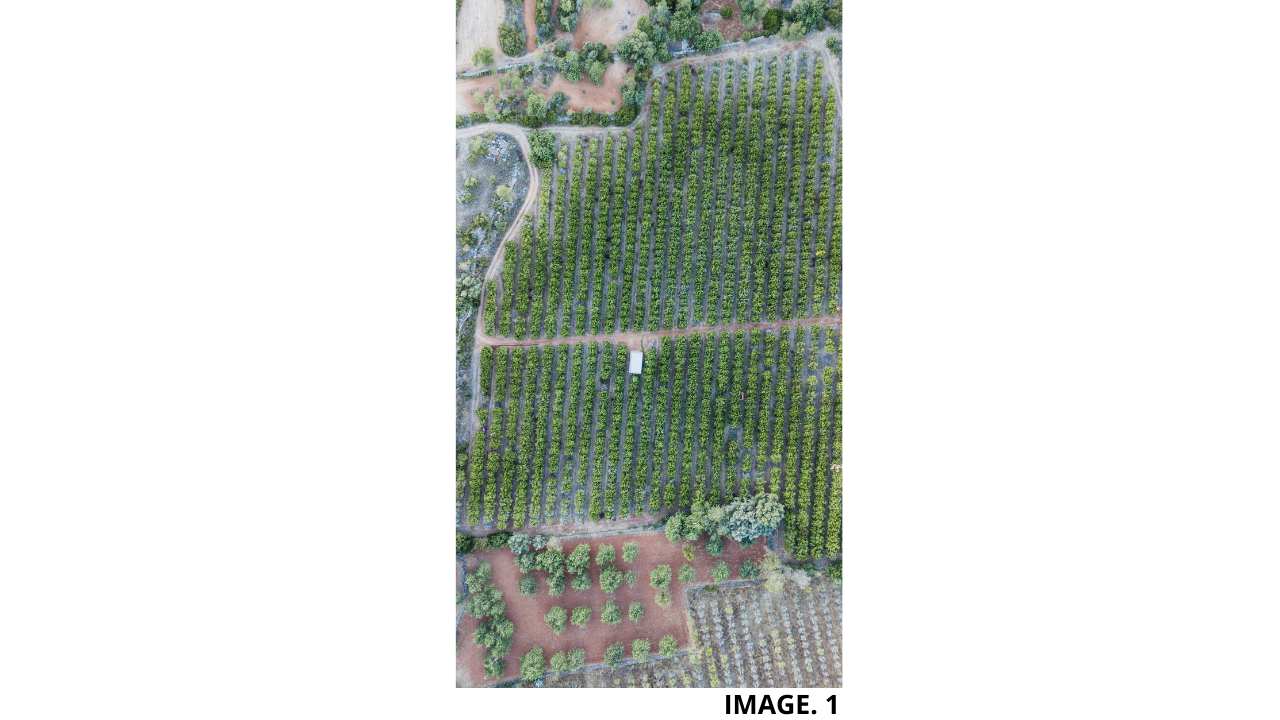
A Water Flow Model needs to be created in order to better calculate where and how much Water will collect in a particular Area. Repeated Regular Surveys can also give us a better idea of Soil Loss or Sediment Build up in an Area.
In Addition to Digital Elevation Models, UAVs with Thermal, Hyperspectral and Multispectral Cameras can be used to Detect Irrigation. And, Areas which need improvement can be easily mapped.
TIP: ‘More Depth about Multispectral Drone Cameras’.
Also, if a UAV isn’t fitted with a Multispectral, then a Regular RGB can be used along with Specialised Software.
Multispectral Imagery:
In a nutshell, Multispectral Imagery is able to see Wavelengths of Light Reflections that the Average RGB Camera is unable to see.
The Human Eye can see Light between 400-700nm, which is just a short portion of the Electromagnetic Spectrum. There are Wavelengths that cannot be seen, which are actually present in Plants, Crops and Soil.
TIP: ‘More In Depth Look into The Multispectral Electromagnetic Spectrum’.
For Example, some Plants give off Radiation that sits around 850nm, this is Infrared Energy. The Devices that can record the ‘Invisible’ Light are called, ‘Imaging Spectrometers’.
Image 2. Shows how Infrared is Viewed through a Multispectral Image:
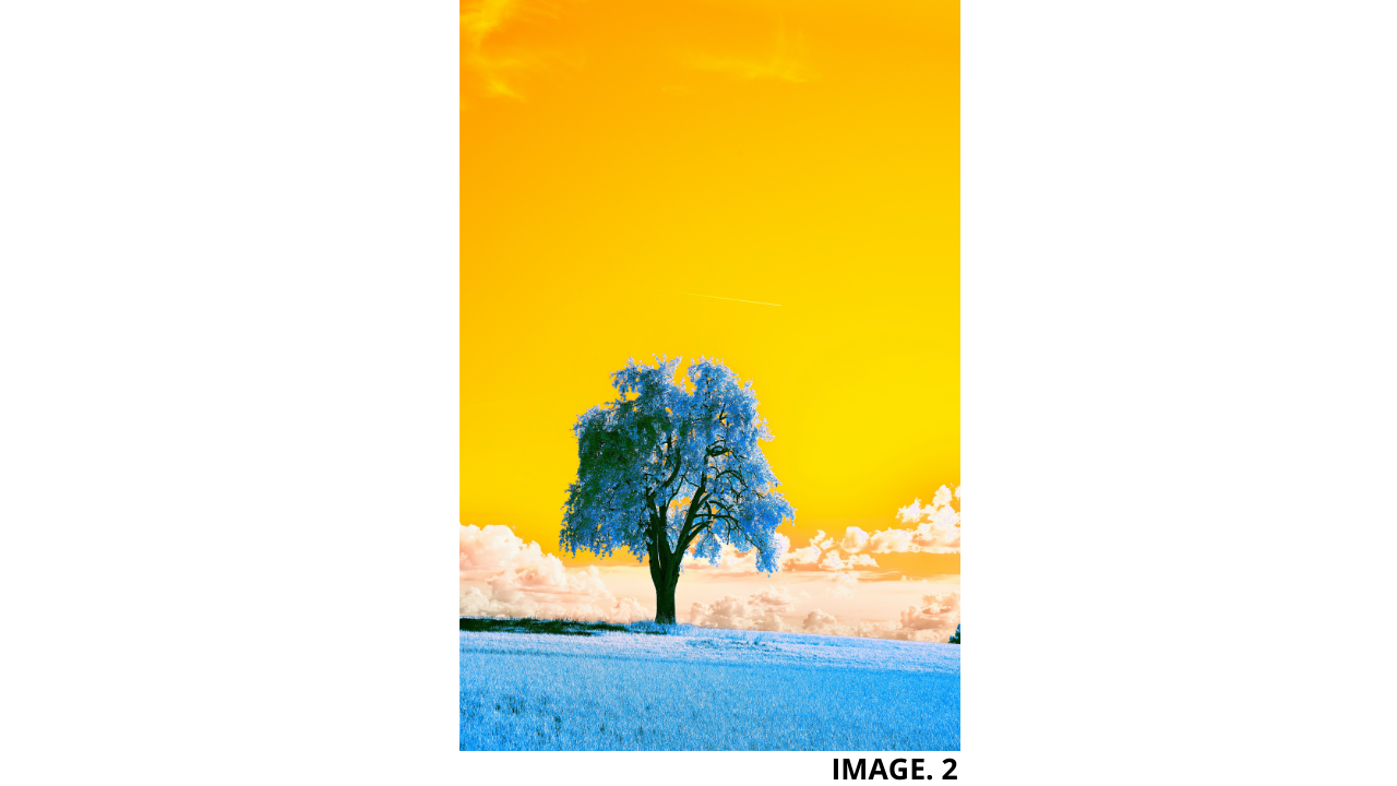
From this Data, certain Chemical Properties of Plants can be identified, such as Higher or Lower Nitrogen Levels. Each of the Objects or Vegetation that reflect certain Electromagnetic Energy, all have their own Signature. We can therefore identify what each object or type of Vegetation is, by using this Technology.
Changes and Mapping of what is on the Ground using this Process, can be used to therefore Identify, Pests, Disease, Weeds, Plant Stress, Numbers, Types, Vigour, Flowering, Canopy and Soil.
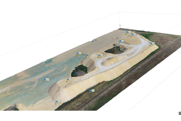
Soil Analysis:
The Multispectral Ranges for Soil Data are as follows:
- 1550-1750nm, is used to detect Soil Moisture Content.
- 2080-2350nm, is used to detect Soil, Moisture, Silicates, Clays & Fires.
Some Soil Analysis Methods involve the attachment of Sensors on the back of Tractors as part of Precision Agriculture. This process takes samples every 10 meters. Acidity Levels and Organic matter content are taken.
Acidity Levels cannot be too high, and clay cannot be too thick. And liming locations are also recorded.
Constant Monitoring using Drones is also required and useful. This includes Monitoring of Plant Density, Irrigation Adjustment and where to add Fertilizer.
With Drone Scanning, the Fields can be scanned much quicker and within the next few decades, Farmers expect to see an increase of Robots and Machine Learning in their Fields.
Image 3. Shows UAV Scanning for Soil Quality:
Health Assessments:
Scanning Crops with UAV Multispectral Technology can identify Parasites and Fungi issues and thus help the Farmers to deal with these issues early on.
The Multispectral Sensors can detect a diseased plants signature from a Healthy one.
TIP: ‘Find Out More About Multispectral Crop Health Assessments Here’.
It is imperative to Act on a Fungal Infection if Found.
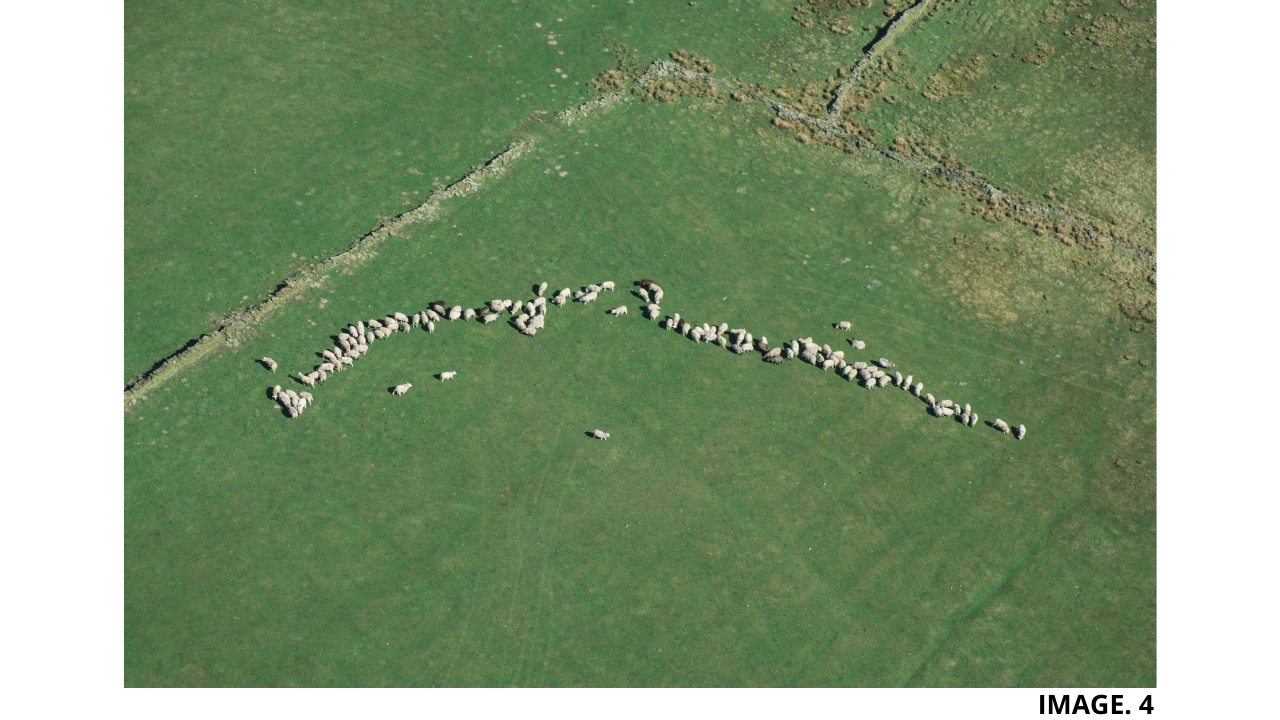
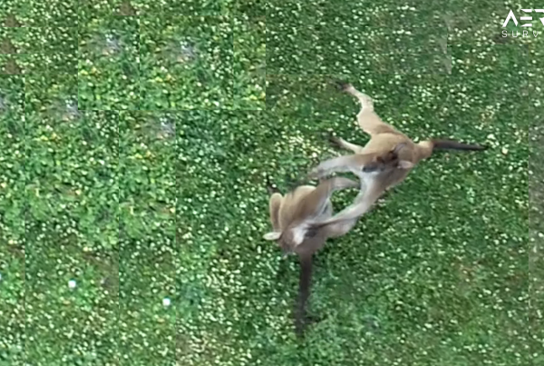
Livestock Tracking:
The Main issue to a Farmer of not Exercising Efficient Livestock Tracking is a loss of Livestock and thus Capital.
Also with the use of Thermal Cameras, Livestock can be Monitored more efficiently. Using Facial Recognition Technology and Machine Learning, each Individual Livestock can now be Monitored.
Drones are now also being used to even Herd the Animals and by some Farmers identify theft; and prevent Rustling.
Image 4. shows Drone Livestock Tracking:
Spraying:
In addition to combatting Pests, Saving Time and Money. Drones have also been used to combat Bush/Crop Fires.
Aswel as Mass crop spraying; combining the Mapping Technology mentioned previously in this Article, certain problematic Areas in need of immediate care can be Specifically Targeted for Spraying.
TIP: ‘Check Here For a More In Depth Look into Photogrammetry Software’.
The Spraying process is also enhanced using the Drones propellers to exert a downward Force from the spray nozzles.
Aswel as carrying payloads of Liquid, Drones can actually be used to disperse Animal Feed and Seeds for Planting.
Seed Planting:
One Major Advantage of Drones for Seeding other than Agriculture is to also replant and help combat Deforestation. Drone can therefore plant seeds in hard to reach locations. This is particularly useful in Australia after there has been Bush Fires.
A Big Advancement in Drone Seeding in recent years has been in the Area of Rice Farming. Where the Drones have now been able to Eliminate the use of Rice Planting Machines; cutting Average time to Sow a Field from 80 minutes down to 10 minutes. This has been extremely helpful to poor Farmers who are also elderly.
Recent Innovations now being used include Granular Seeding, which is a Granule Spreading System equipped to Drones. The system has High-Speed Focused Airflow, so they can be projected to more Precise Locations, where required. The System Utilises the Bernoulli Principle to produce a pressure difference that Induces Granules from the Feeder.


Recent Comments